 |
 |
|
|
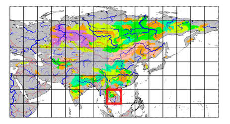
| Station Name (GRDC ID): | Ban Chot (2969082) | Basin Name: | Mekong |
|---|---|---|---|
| River Name: | Nam Chi | Next Downstream Station: | Ubon (2969200) |
| GRDC Country Code: | TH | Distance to Next Downstream Station: | 338 km |
| Start Year [Month]: | 1980 [4] | Upstream Station(s): | None |
| End Year [Month]: | 1993 [12] | ||
| Mean Discharge: | 50 m3/s | ||
| Minimum Discharge: | 0 m3/s | ||
| Maximum Discharge: | 626 m3/s | Length of Upstream Mainstem: | 154 km |
| Mean Interstation Discharge: | 50 m3/s | Distance to Basin Outlet: | 1256 km |
| GRDC Catchment Area: | 10200 km2 | STN Catchment Area: | 11886 km2 |
| GRDC Interstation Area: | 10200 km2 | STN Interstation Area: | 11886 km2 |
| GRDC Station Runoff: | 155 mm/yr | STN Station Runoff: | 133 mm/yr |
| GRDC Interstation Runoff: | 155 mm/yr | STN Interstation Runoff: | 133 mm/yr |
| Station Field Descriptions | Basin Field Descriptions | ||
| Download | |
|---|---|
| Site Descriptor Information | Station Time Series Data |
| Hydrograph | Station Data | ||||||||||||||||||||||||||||||||||||||||||||||||||||||||
|---|---|---|---|---|---|---|---|---|---|---|---|---|---|---|---|---|---|---|---|---|---|---|---|---|---|---|---|---|---|---|---|---|---|---|---|---|---|---|---|---|---|---|---|---|---|---|---|---|---|---|---|---|---|---|---|---|---|

|
| ||||||||||||||||||||||||||||||||||||||||||||||||||||||||
